The Sierra de la Breña stands out to the north of the town of Deleitosa on the eastern limit of the Trujillo peneplain, consisting mainly of slates and greywackes that were deposited and folded during the Neoproterozoic or Upper Precambrian (+ 540 m.y.). On the summit of this sierra the visitor can appreciate the Armorican quartzites laid down in the Ordovician period (440-480 m.y), which are the most competent and the hardest of the relief and therefore form the crests of the sierras of Las Villuercas. Two other geological formations also appear in the landscape as the result of the erosion of these rocks: pedreras (block slopes) and rañas (see their origin under the respective geosites of the Source of the River Almonte and the Rañas de Cañamero).
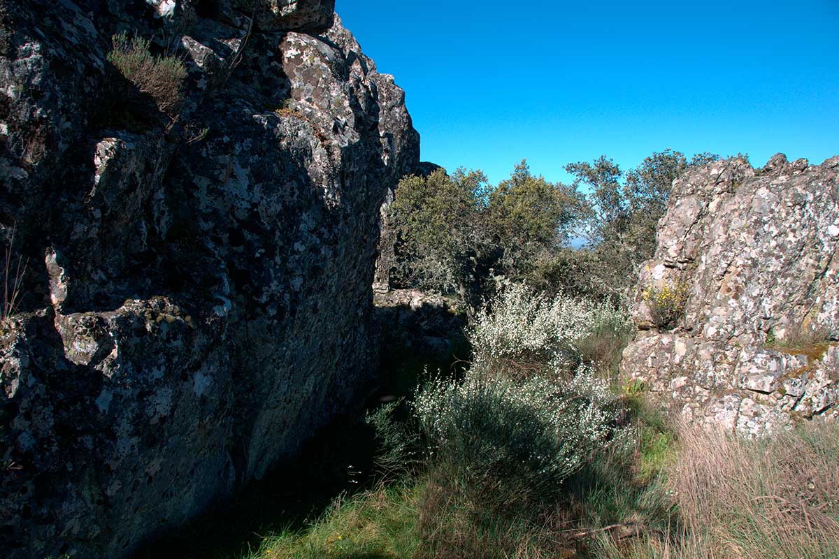
All the rocky formations of Las Villuercas are intensely folded and fractured owing to the pressure of the Hercynian and Alpine orogenic movements. These fractures are particularly visible in the quartzite alignments, where they do not generally occur in isolation but rather in parallel systems that cause staggering and transverse displacements that interrupt the continuity of these alignments. The parallel fractures that can be found in the Sierra de la Breña are strike-slip faults or cross faults in which the fault plane is vertical and the movement of the blocks is according to the horizontal.
Geomorphologically these faults are apparent in Las Villuercas as displacements in the Armorican quartzites that form passes and hillocks in the sierras. At times the incisions are wide and deep enough for watercourses to flow through them to form the typical portillas or small passes (e.g. Apreturas del Almonte) or deep defiles (e.g. Estrecho de Peña Amarilla). In other cases rivers abandon their linear course to join another not previously used by means of “stream capture” (e.g. the confluence of the River Viejas with the River Ibor).