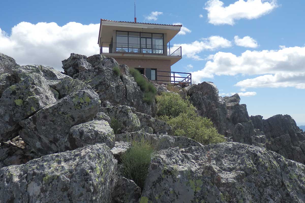
In common with other elevated vantage points of the Geopark (Risco de La Villuerca and Risco Gordo), the Risco Carbonero is a rocky crest of Armorican quartzite characteristic of the sedimentary beach deposits of the Lower Ordovician (480 million years ago). The entire ascent in any direction is covered with pedreras or “block slopes” made up of large quartzite blocks that became detached from the crests when the latter fragmented owing to the effect of the “ice wedges” of the periglacial conditions that prevailed in the early Quaternary (see the process in the geosite on the Source of the Almonte). Moreover, it is an important paleontological site for marine invertebrates of the Ordovician period, Daedalus and Skolithos, of which some isolated examples can be found. Remember that fossils represent part of the geological heritage of the Geopark and that we should all contribute towards their conservation and enjoyment. They should be observed and photographed but not collected.
The geological value of the Risco Carbonero is that it allows the interpretation of much of the Geopark. Owng to its location and its great height it overlooks the Ibor-Guadalupe anticline to the west and the Guadarranque syncline to the east. From here we can understand the geomorphology of the “Appalachian relief” that defines the territory as a whole, with the observation of the details of the sierras and parallel valleys facing SE-NW (see Geosite “Risco de La Villuerca”).
The strata of Armorican quartzites that make up the Risco Carbonero are part of the east flank of the Ibor-Guadalupe anticline. Despite their age of 480 million years, they are the most modern materials that can be found in this great folding structure, as everything that was previously deposited has already been worn down by erosion. What can be seen today in the valley is a set of shales, sandstones, and conglomerates of the Ediacaran (+ 540 m.y.) including some calcareous and magnesian strata (dolomites) characteristic of this formation that has been named Grupo Ibor. In contrast, if we observe the Guadarranque syncline towards the east, we find a succession of Palaeozoic materials preserved until the Upper Silurian (420 m.y.) in which shales and quartzites of various stages of sedimentation alternate.

