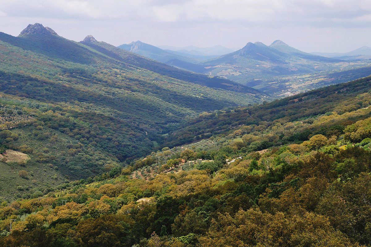
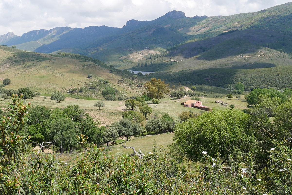
We are at the start of the second section of the Appalachian Relief Geological Itinerary which joins Solana de Cabañas and Navezuelas. The sierras and valleys of the Geopark are arranged more or less parallel in a SE-NW direction and their formation, geology, and geomorphology have generated the so-called Appalachian relief system. The itinerary crosses this relief to allow us to get to know this exciting geological landscape and its fauna and flora. We will climb from the valley of Logrosán where we are now to the pass of the Sierra del Castillejo. From here we can make out the synclinal valley of Santa Lucía which we will follow to the pass of the Sierra de la Ortijuela. We then descend to Navezuelas at the end of this section in the anticlinal valley of the Almonte.

The rocks we see were folded during the Hercynian orogeny (300 million years ago). They emerged from the sea floor as part of an important mountain range which was subjected to long erosive processes which resulted in its typical geomorphology with dismantled synclinal valleys. These show in their core very ancient materials which were folded during the Cadomian orogeny (Ediacaran-Lower Cambrian) alternated with synclinal valleys with newer materials (Ordovician).

It is important to observe the contrast between rocks highly resistant to erosion (Armorican quartzite) which make up the crags of the sierras, and other materials, mainly shales and greywackes, which are of low permeability and very crumbly, which we find on the lower parts of the valleys.
